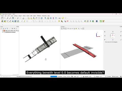
QGIS shows nothing below ground level when using 3D. Only if you place the viewpoint below ground level. Is there anything that can still be done about this at the moment?