

Problems geolocation with Civil 3D IFC 2x3

Hello,
Following my research around BIM and IFC in infrastructure projects.
I have several problems importing with blenderBIM with Civil 3D IFC 2x3 files from our partner.
I would like to open the files with Blender BIM, in order to check the modeling and change the colors of the objects, but geolocation overwrites the geometries during production, do you have a solution for the documentation?
cordially
Comments
@Buttar if you send me a test file, I can check to see what I can do to make it work out of the box in the future. You can send it using https://send.firefox.com (end-to-end-encrypted, auto-deleted after 24 hours) to my email [email protected]
In the meantime under "Model View Definitions" in the scene properties tab, try "Import resetting absolute coordinates", or "Import ignoring site coordinates", or "import ignoring building coordinates" (in that order). I suspect the first will be enough given that this is a Civil package.
If they all don't work, there are even more options to explore, but I'd need a sample file.
for information.
I tested the 3 options that you advised me.
I did not notice any change.
Apologies for the lack of results, it turns out it was a bug. I sent you an email with the corrected file, hope it helps.
I have fixed the bug and added support for Civil 3D absolute coordinates, and will be available in the next release:
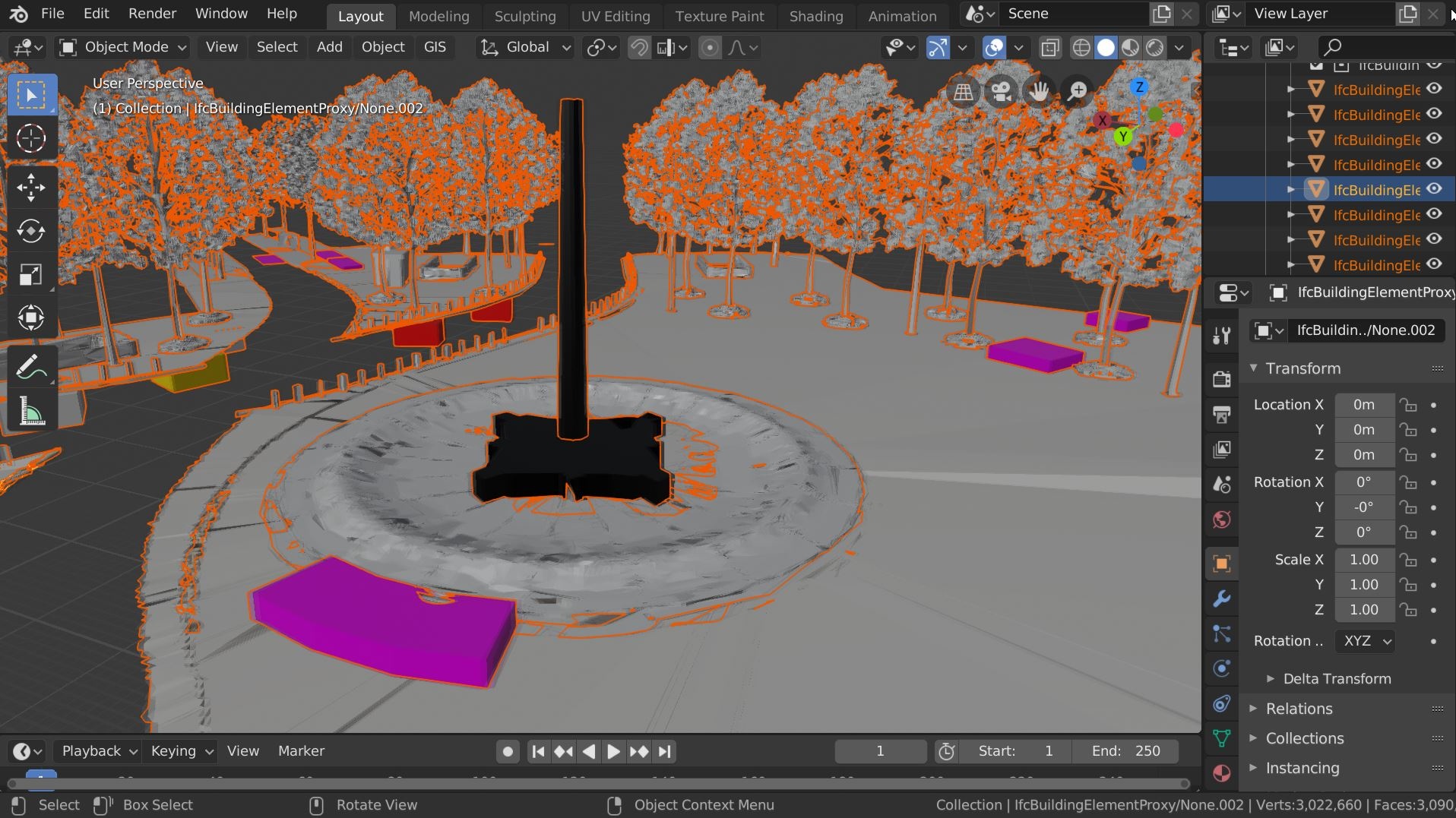
Oh by the way, can I use a screenshot of your model as a picture for the next release of the BlenderBIM Add-on? I am always looking for interesting and different models :)
I just saw your response email right now!
If I understand correctly, you modify the file type so that the add-ons consider it as a 12D model.
it works perfectly
a big thank-you
I would advise you to use BricsCAD BIM for any Dwg IFC operation. AutoCAD is far behind. Download a trail. Not Open, but Good it is.