

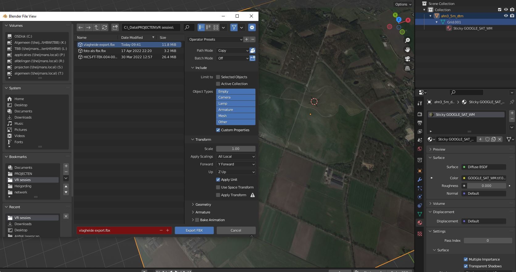
FBX with aerial image (BlenderGIS)
I am on a second journey trying to get aerial images right into FBX as material. For a flat image this works. But when a mesh is created using elavation , and sticky material is used, this fails to export with materials. How do i get this right? Any idea's welcome, i am lost in too many options :)
Comments
Hello ! I'm not familiar with sticky materials, what does this feature do ?
It transfers the imported image as material so it can be used to drape over the mesh or TIN. My problem is exporting it to fbx.
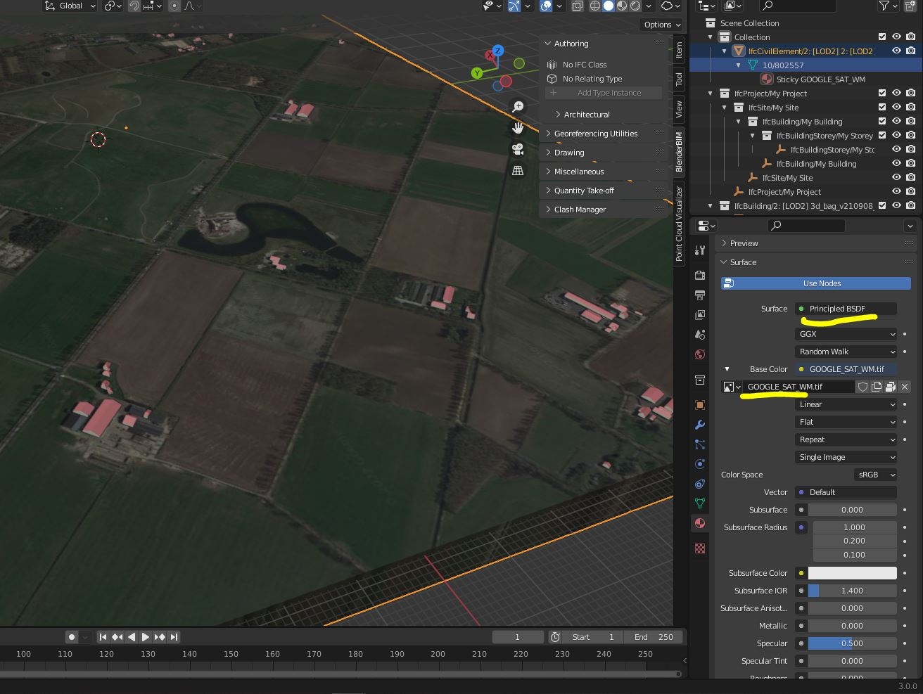
It's only possible to export very simple material setups to other formats. You can try to swap the diffuse BSDF to a principled BSDF ?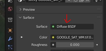
It doesn't seem to have image as option
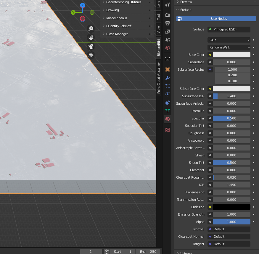
If you click on the yellow dot on the left of the "Base Color" field, it should prompt you with "Image Texture" and you can then select your image texture file there
Awesome! Thanks very much!
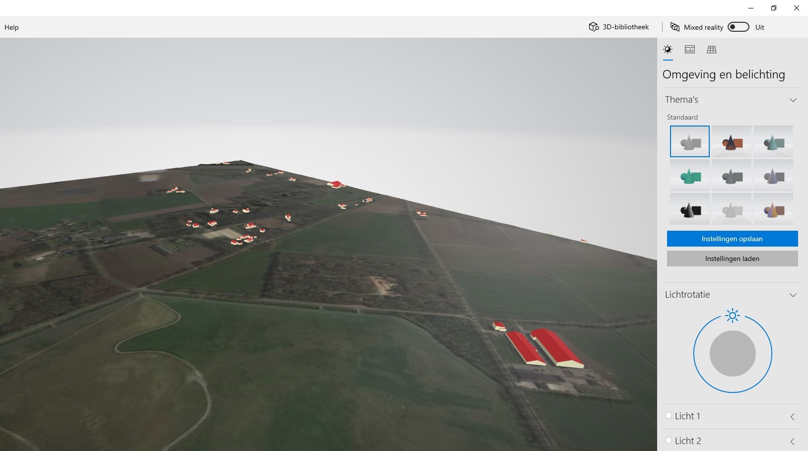
This works now for our NL BlenderGIS AHN4 models.
The Netherlands is mostly flat but believe me, the actual grondlevel is in the FBX with 3D BAG!
www.3dBAG.nl
After a remesh the image is lost. The 'preserve paintmask' doen not seem to work for this.
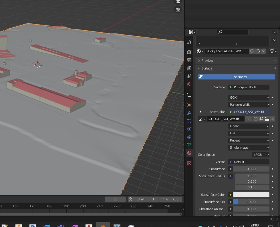
I would like to be able to remesh to get a more smooth surfaces.
I'm glad you worked it out ! :)
Yeah remesh is destructive re UV maps. You can try to bake the UV map from base mesh to remeshed mesh but it's a little advanced and the workflow is awkward. There are plenty of tutorials on youtube though.
You can also try the "Smooth" modifier, play with the settings and iterations. Or the "Subdivision Surface" modifier although it will increase your polygon count exponentially and your file size too.
I don't know if fbx has a "smooth shading" option or if you have to enable it in your viewer but it might help hide the obvious facets.