I’ve been testing the tool and I must say it works really well 👏. I’ve used it with a tunnel model, and the integration has been quite smooth.
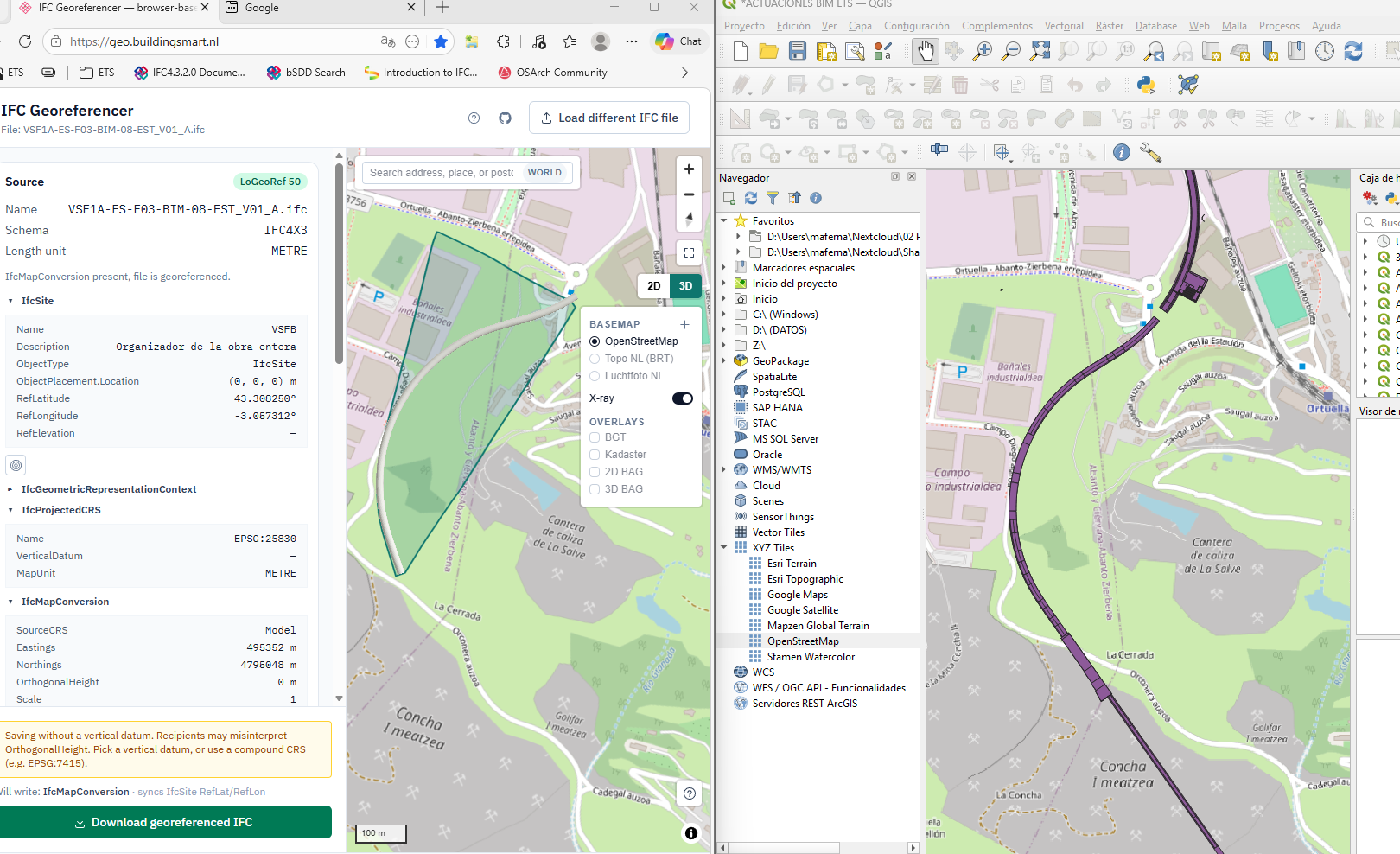
I’m attaching a screenshot where you can clearly see the comparison:
On the left, the visualization in your application
On the right, the same model displayed in QGIS via a GeoJSON file
As a note, I’ve observed that the tunnel appears above the terrain instead of below it. I assume this might be related to the coordinate reference system or the way the geometry is being interpreted, but I thought it was worth mentioning in case it helps identify something to review.
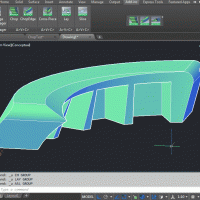
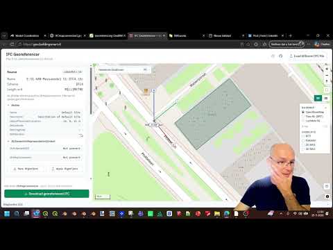
Additionally, I have another screenshot of the terrain (DTM) viewed in BIMRocket, where the tunnel is correctly shown below the surface. I’m not sure if it would be helpful to share it as well for comparison, but I can provide it if needed.
In any case, congratulations on the work — it looks very promising 👌


Comments
I’ve been testing the tool and I must say it works really well 👏. I’ve used it with a tunnel model, and the integration has been quite smooth.
I’m attaching a screenshot where you can clearly see the comparison:
On the left, the visualization in your application
On the right, the same model displayed in QGIS via a GeoJSON file
As a note, I’ve observed that the tunnel appears above the terrain instead of below it. I assume this might be related to the coordinate reference system or the way the geometry is being interpreted, but I thought it was worth mentioning in case it helps identify something to review.
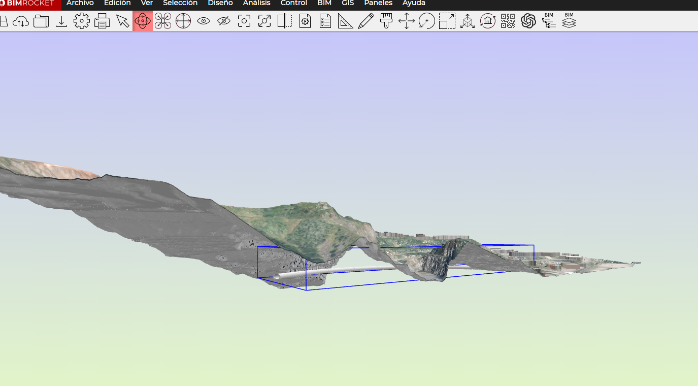
Additionally, I have another screenshot of the terrain (DTM) viewed in BIMRocket, where the tunnel is correctly shown below the surface. I’m not sure if it would be helpful to share it as well for comparison, but I can provide it if needed.
In any case, congratulations on the work — it looks very promising 👌