

AliceVision - Photogrammetric Computer Vision Framework
https://alicevision.org/
This is a stunning piece of FOS software everyone needs to check out. I think it is quite ready for for existing building data capture, but am testing it out right now.


Comments
It is also strong at full automatic camera tracking from drone footages.
I saw this workflow which I find very useful. It uses RealityCapture but I guess the same can be done with Meshroom. Haven't tested yet.
or using renderdoc
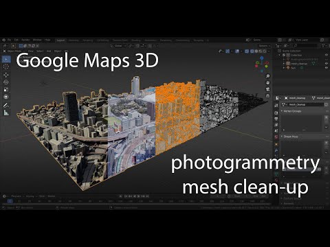
and mesh cleaning
but still not clean enough to transform the resulting stl into shape&solid in FreeCAD, to at the end have a CNC toolpath.
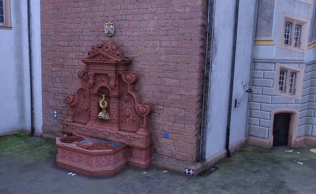
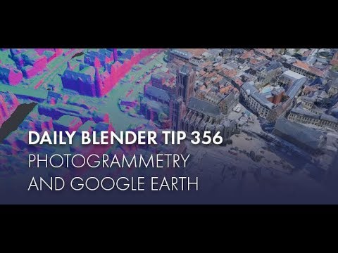
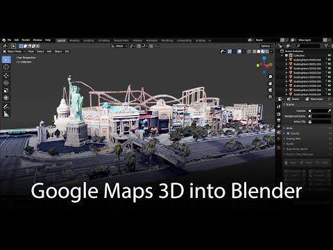
Photogrammetry from Google Maps seems to me like a hack that is against google's terms. If it wasn't why wouldn't they allow export directly from Google Earth/Maps?