Help Needed: Setting Up a BIM Construction Site in BonsaiBIM with Imported IFC File

Hi everyone,
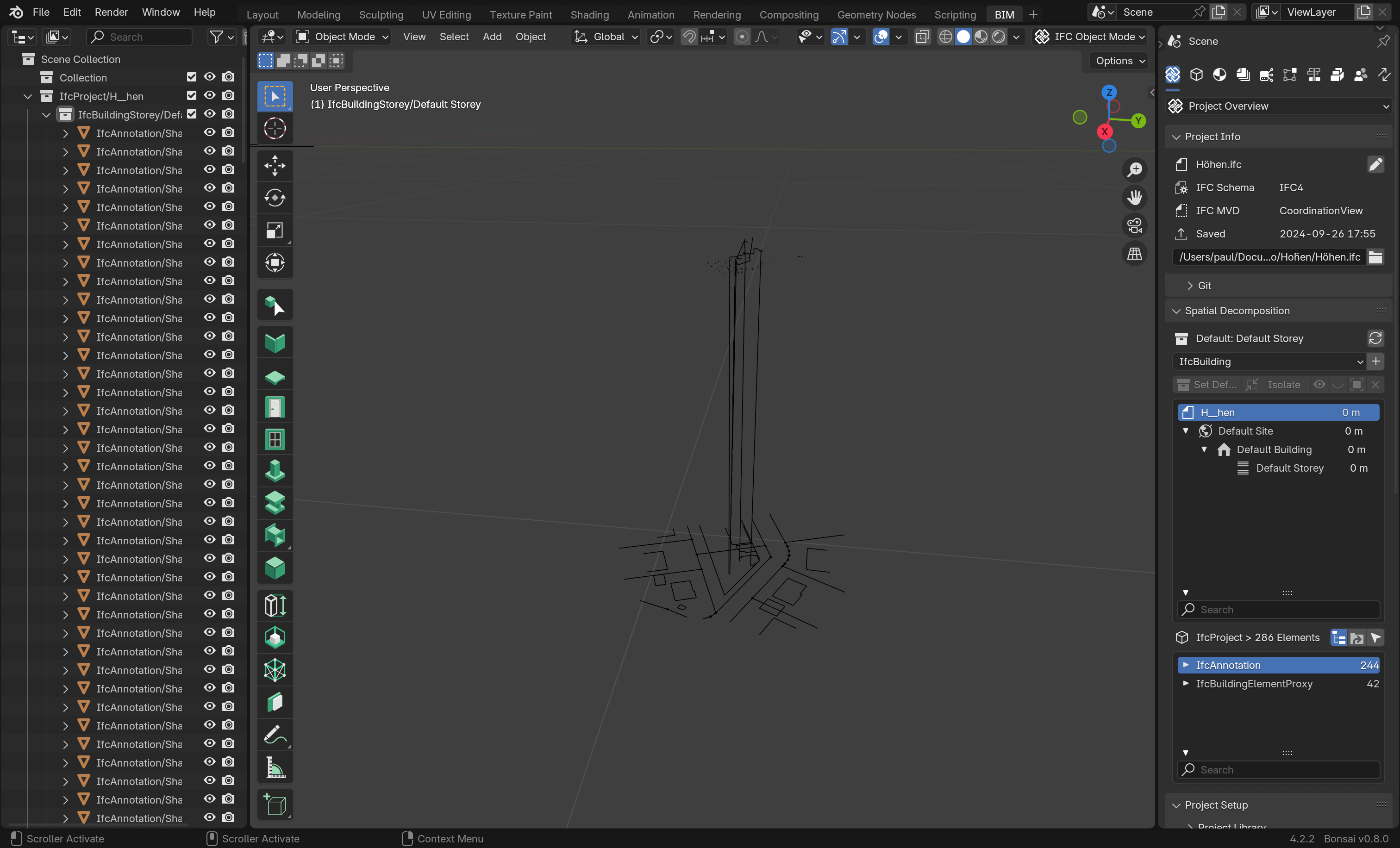
I’m new to Blender and particularly interested in using Bonsai BIM for my projects. I’m currently planning an annex and have a DWG file containing elevations and measurement points. I converted this DWG file into an IFC project using FreeCAD.
However, when I import the IFC file into Blender using BlenderBIM, I’m encountering some issues:
1. Elevation Problems: Some points appear at incorrect elevations.
2. Scale Issues: The overall scale of the measurements seems inaccurate.
I’m unsure how to properly set up the construction site in BlenderBIM based on real-world measurements and correct these discrepancies.
Could someone please point me in the right direction on how to proceed?
Specifically, I’m looking for guidance on:
- Properly importing IFC files into BonsaiBIM while maintaining accurate elevations and scale.
- Adjusting elevations for points that are incorrect.
- Ensuring that the scale of the imported measurements matches real-world dimensions.
Any help or resources would be greatly appreciated!
Thanks in advance!