At this moment, I interesting in data and metadata, which are necessary useful to maintain in BIM/GIS model.
If someone is willing to share experience or some use case, I will be happy.
That's pretty general. In the BIM world there are a few open data standards like IFC, BHoM, and Brickschema. I'm not too familiar with GIS metadata standards (though OpenStreetMaps have developed a convention).
I'd be very interested in developments on this topic too. I'd like to explore how sewage infrastructure can be implemented meaningfully into bim / ifc schemas.
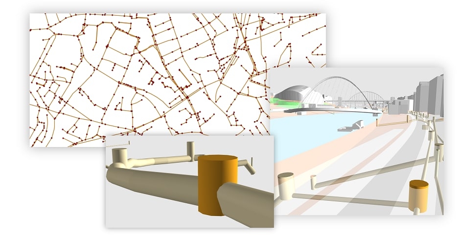
I'm a little concerned about the slanted piping on your screenshots though ><


Comments
Looks fascinating! Which aspects were you interested in? The handling of map coordinates? Integration with GIS data?
At this moment, I interesting in data and metadata, which are necessary useful to maintain in BIM/GIS model.
If someone is willing to share experience or some use case, I will be happy.
That's pretty general. In the BIM world there are a few open data standards like IFC, BHoM, and Brickschema. I'm not too familiar with GIS metadata standards (though OpenStreetMaps have developed a convention).
What are you trying to do?
I'd be very interested in developments on this topic too. I'd like to explore how sewage infrastructure can be implemented meaningfully into bim / ifc schemas.
I'm a little concerned about the slanted piping on your screenshots though ><
@PepaR like I said on Telegram, you get real answers on our forum :-)