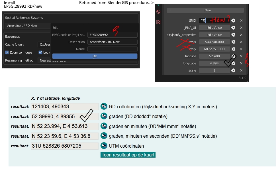
How does one set the CRS in BlenderGIS?
The coordinates for EPSG:28992 RD/new are not right.
How are different CRS supported? Needs manual adjusting now..
I don't think blenderGIS handles coordinate transformation out of the box. You can install GDAL as a dependancy and that might allow coordinate transformation. Here is the documentation on that https://github.com/domlysz/BlenderGIS/wiki/How-to-install-GDAL.
However as it says in the documentation your best bet is to use QGIS to get your data into the same coordinate system.
My guess from using blenderGIS is that it sets the center of the first GIS file you bring in at the origin in blender and creates a offset to convert any new GIS files you bring in from the CRS location to the blender location.
So best practice would be to reproject all of your GIS files to a common coordinate system in QGIS and then bring them into Blender.
If you need to have the origin at a known location create a point file in QGIS at that point and bring it in first.


Comments
I don't think blenderGIS handles coordinate transformation out of the box. You can install GDAL as a dependancy and that might allow coordinate transformation. Here is the documentation on that https://github.com/domlysz/BlenderGIS/wiki/How-to-install-GDAL.
However as it says in the documentation your best bet is to use QGIS to get your data into the same coordinate system.
My guess from using blenderGIS is that it sets the center of the first GIS file you bring in at the origin in blender and creates a offset to convert any new GIS files you bring in from the CRS location to the blender location.
So best practice would be to reproject all of your GIS files to a common coordinate system in QGIS and then bring them into Blender.
If you need to have the origin at a known location create a point file in QGIS at that point and bring it in first.
This issue has been dealt with in the dutch Addon. No need to dive into any CRS definitions
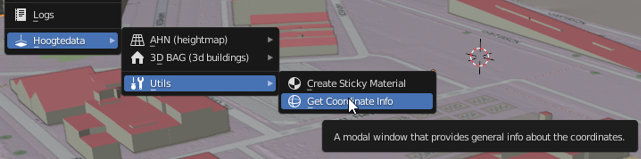
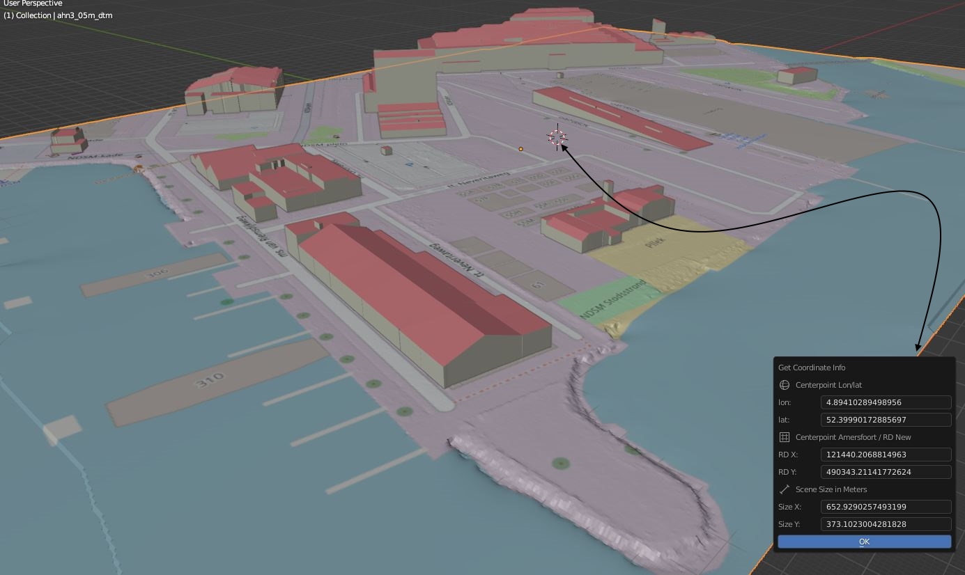
At least for use in NL