

Creating an Ifc file from scratch representing a highway alignment

Hello community,
I'm new with IfcOpenShell and I'm trying to create an IFC4x1 file from scratch that would represent highway geometries alignment only, with location and elevation from a certain amount of 3D points I already have.
I'm kinda following @Moult example using ifcopenshell.api (https://community.osarch.org/discussion/762/) but I'm still struggling with it.
Any ideas or suggestions are most welcome.
Thanks for the attention.
Comments
Hey @rogerioantoniomota
This video from Moult is more recent and in the beginning shows how to create an IFC:
But more generally you can model whatever you want in Blender and then classify it as an IfcClass after,
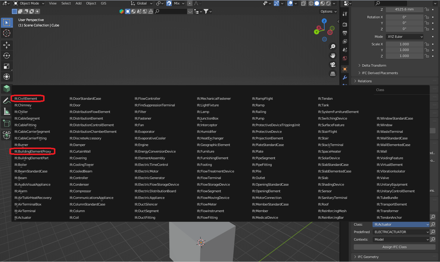
the Generic classification is BuildingElementProxy, but there is also CivilElement, which might be more applicable to you, I haven't used the latter but it probably includes the kind of metadata / BIM data that would be useful to you, I do think some users on here have used Blenderbim for civil works projects in the past so also search the directory on the top right
Thanks for the input @Ace :) I'm having a look at the material and trying it myself.
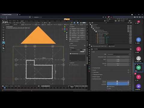
So there's no way to model it programmatically from a Python script? I have looked in a fair amount of posts here in the discussion section and could find the 'HelloWall' example which is one close approach (the author set some IFC attributes manually in the example, so I wanted the Moult example using the IfcOpenshell.api) I wanted to replicate with Highways, at least with the Alignment from many stations being represented as 3D points. But I will try to work with Blender to see what I can get from it, applying it to Highway modeling.
Hey @rogerioantoniomota my bad I didn't see you wanted to do it with just IfcOpenshell, Then the right place to look is at this post perhaps:
https://community.osarch.org/discussion/1061/ifcopenshell-blenderbim-creating-an-ifcgrid-ifcbuildingstorey-ifcslab-ifcwall-and-youtube-demo#latest
@Coen has had great success using it programmatically
Great @Ace ! Thanks a million :)
Having a look right now on that.
You can also create form your 3d points an obj file and than use this script https://github.com/IfcOpenShell/IfcOpenShell/blob/v0.7.0/src/blenderbim/scripts/obj2ifc-meshlab.py