

Terrain Modeling & Site Planning

Hi all,
I recently purchased a few acres of forested land with the goal of designing and building a cabin on it.
So far I have been using a combination of QGIS and CalTopo to digitize the paper survey, plan out access, and annotate setbacks, and generally work on the site plan.
However I'd love to spend some time creating a 3D model of the area with elevations and vegetation, so that I can visualize the structures in their environment and make some renders and studies of how they will look. Even better if this work can be with the same model as the site plan. It seems like Blender is a natural choice for this work.
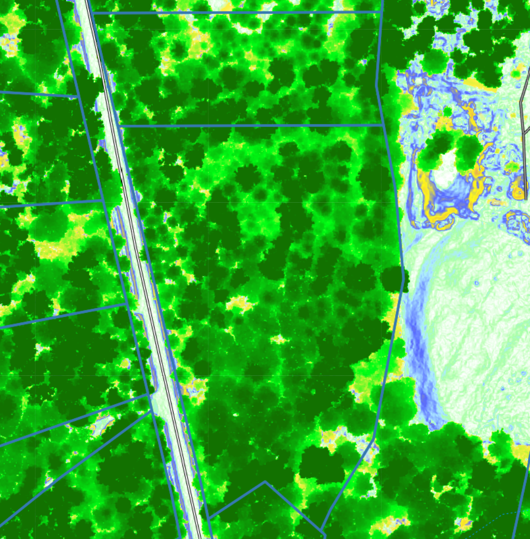
So my question is, have any of you successfully used Blender to create a 3D site plan starting from GIS data? What add-ons would you recommend to start learning for this? I am lucky in that the DNR LiDAR data is very good, attached is a map created with QGIS showing foliage height.
Thank you,
Ted

Comments
Hi, this is the way I do it:
https://wiki.osarch.org/index.php?title=Bonsai_Add-on_Importing_geospatial_data
Hi,
In this post you will also find a way to model terrain using scripts.
Thanks a ton, I'll try these out.