

[swisstopo] New service IFC

swisstopo offers a new service: Upon order, we export our building models and the terrain model in IFC format for a specific project area. Sources: https://www.swisstopo.admin.ch/en/home.detail.news.html/swisstopo-internet/news2023/geodata-news/20230428.html
Swisstopo is the official name for the Swiss Federal Office of Topography , Switzerland's national mapping agency. Sources: https://en.wikipedia.org/wiki/Swisstopo
Under this site there are also example files https://www.swisstopo.admin.ch/en/services/3d-visualisations/geobim-format.html
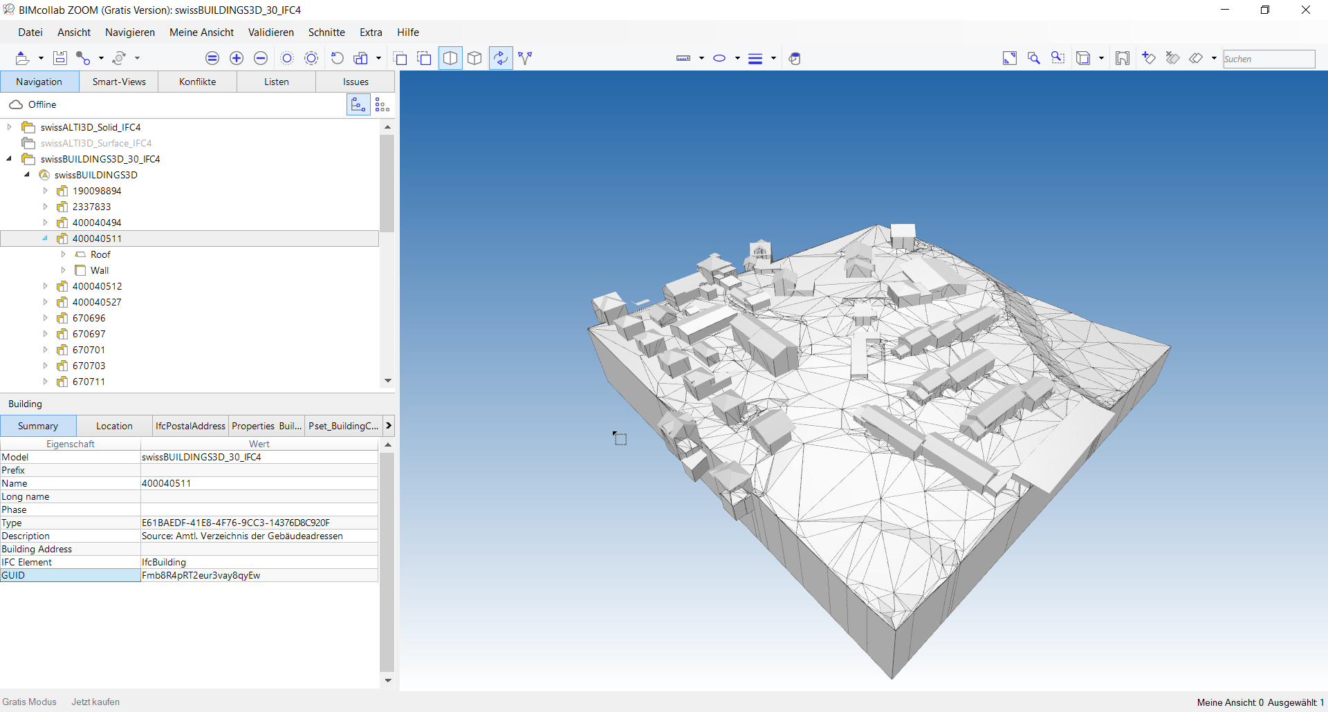
Example file opened in an IFC viewer
I think it's cool that a national authority also issues IFCs!
Tagged:


Comments
Cool! can we see the Matterhorn in IFC? ?
Since part of the Matterhorn is on the Italian territory, maybe part of a Matterhorn in IFC? ?
I have given it a try. I will report back ...
As seen in the screen BIMCollabZoom does not show the collors. Could someone try with latest BB? Example data is here available: https://www.swisstopo.admin.ch/en/services/3d-visualisations/geobim-format.html
BTW: Solibri does not show the colors either. BIMVision does ...
@bernd
What am I supposed to see? :-)
see the picture I added in my post from BIMVision ...
I asked on Swisstopo for the ifc data regarding area around Matterhorn. Data in dxf for buildings and surface can be downloaded for free. If we would like to have the data in ifc we would have to pay 64 CHF which is around 64 Euro.
Actually the buildings are also available for free in 3D shapefile. So it's quite easy to bring them with the terrain through BlenderGIS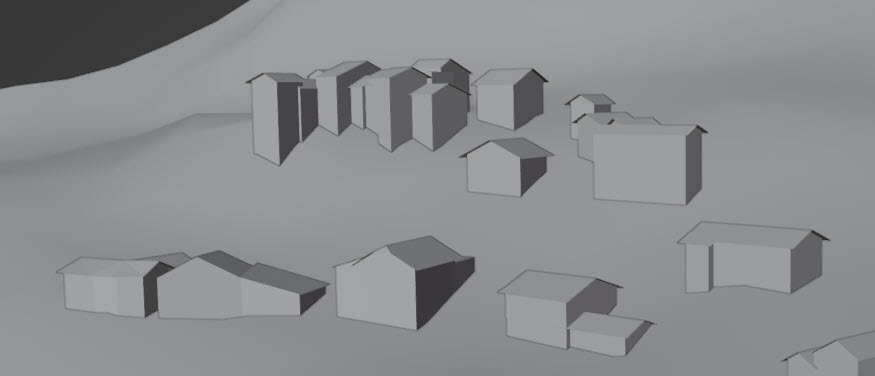
I tested the example with https://validate.buildingsmart.org/ and there was a problem with IfcPerson.
I also found it a pity that IfcProjectedCRS was not used, instead this information was in a separate txt file.
I have written both points to swisstopo by e-mail.